LOZIO
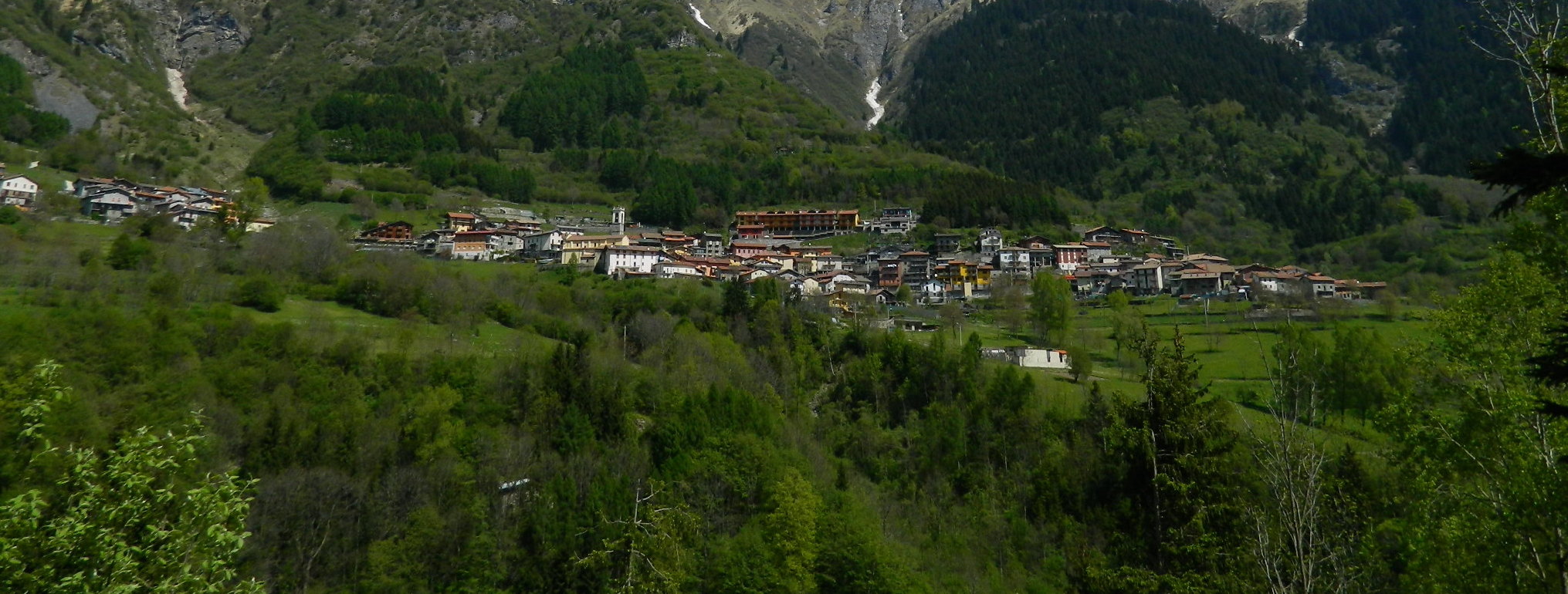
LOZIO The four hamlets that make up the municipality of Lozio are spread out between 800 and 1000 meters above sea level and are all located to the left of the Lanico stream. Sucinva, Làveno and Sommaprada are on the slopes of the Concarena, while Villa, which is the main centre, is located at the foot of Cimon della Bagozza. The road that leads to Lozio is a branch of the provincial road that comes up from Valle Camonica at Cividate – Malegno. The valley is narrow, wedge-shaped and covered with coppice. After traveling a few kilometres, however, the valley opens up, widening the view on a splendid altopiano surrounded by pine forests and coniferous woods.

LOZIO AND ITS HAMLETS
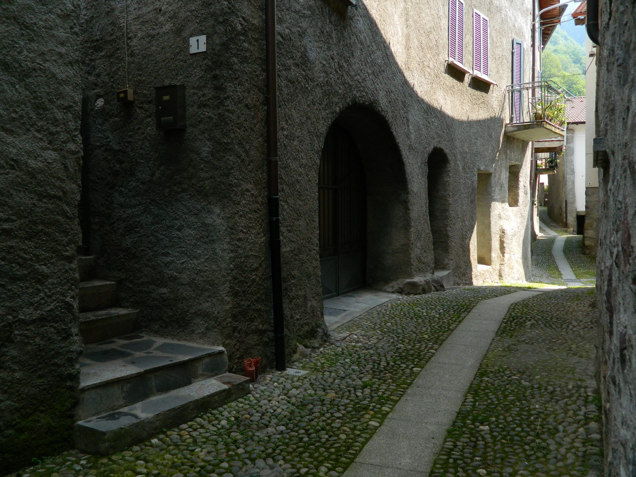
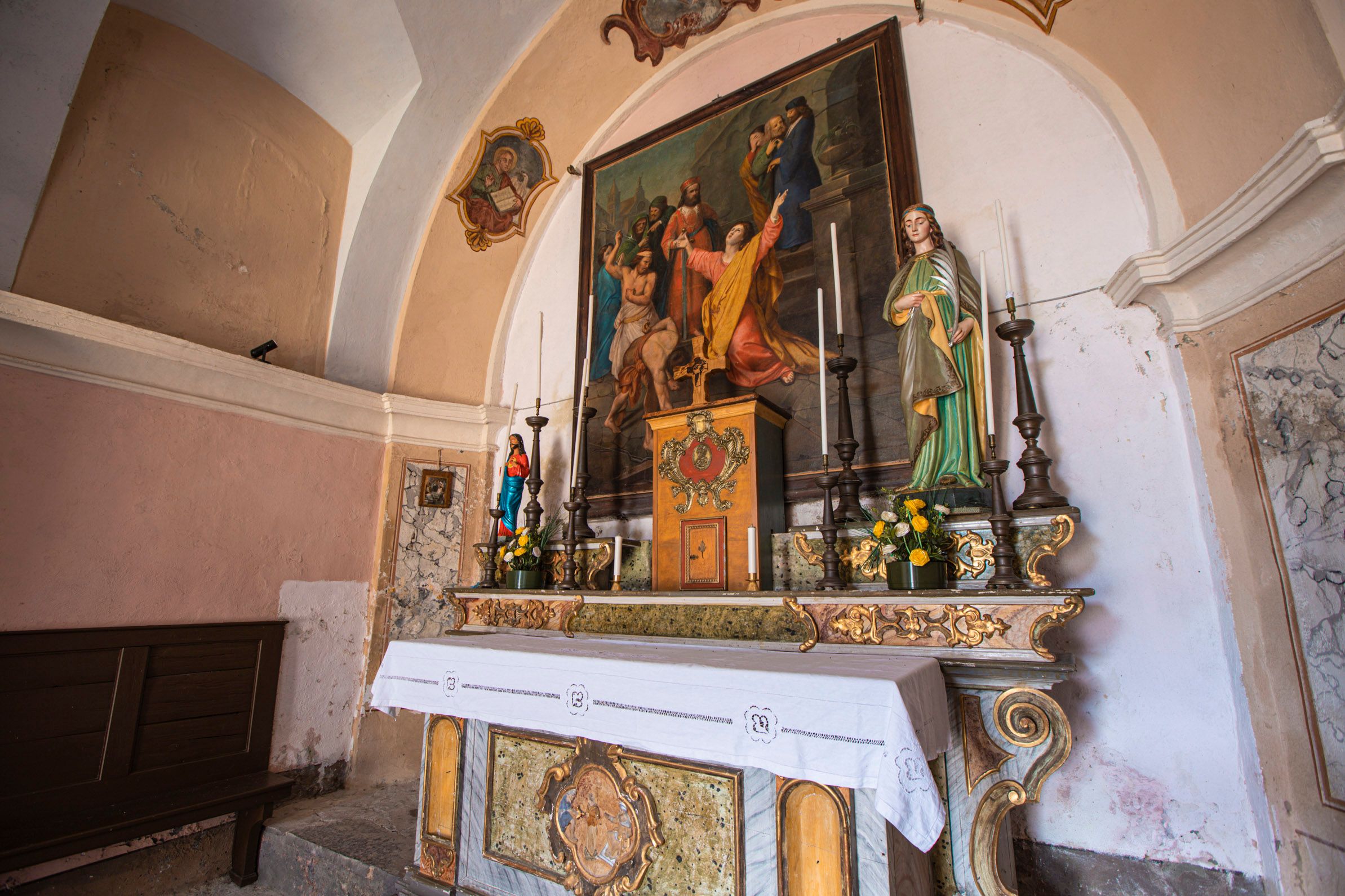
The four hamlets are close but different from each other: Sucinva is located towards the eastern edge of the altopiano. The oldest houses date back to the 1300s and there is a small 17th century church dedicated to St. Anthony of Padua Also Laveno, the main village where the Town Hall is situated, develops around a medieval nucleus and has a 17th century church dedicated to S. Maria Assunta.
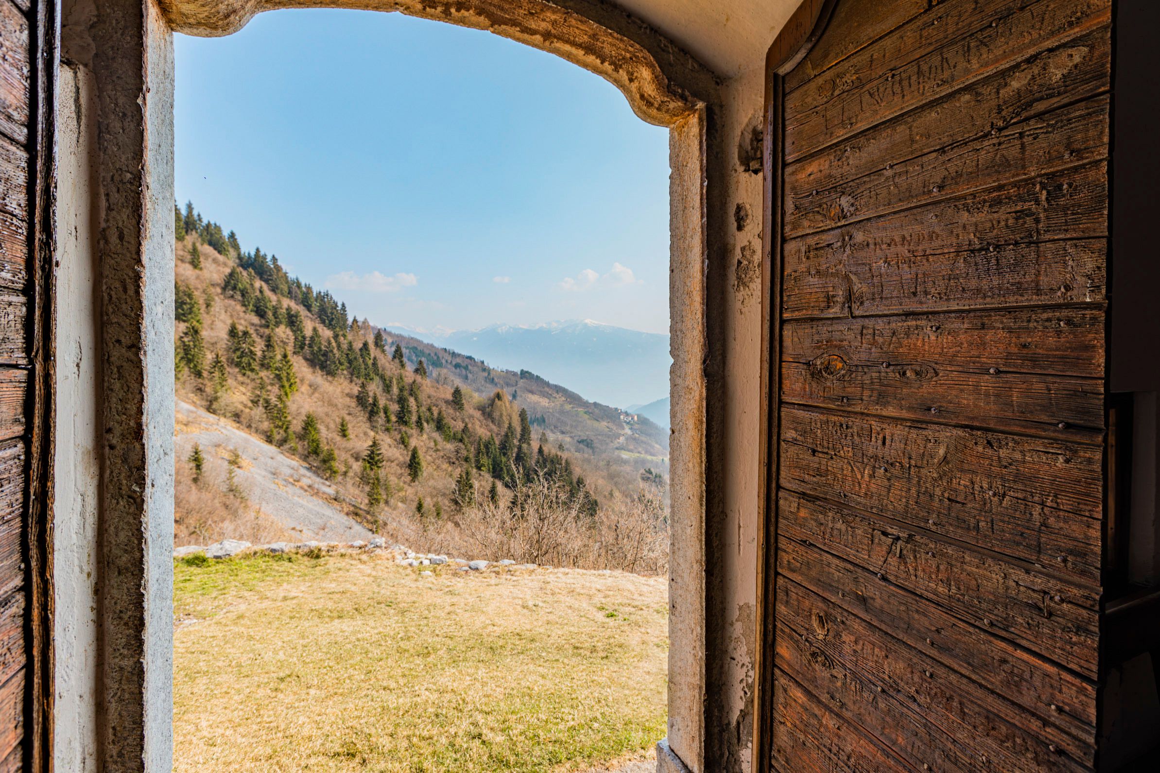
The highest hamlet of the Municipality of Lozio is Sommaprada, at 1045 meters, from where you can reach the small church of S. Cristina, nestled in a spectacular position among the peaks of the Concarena. To reach the last hamlet, retrace the road towards the west, across the entire altopiano.
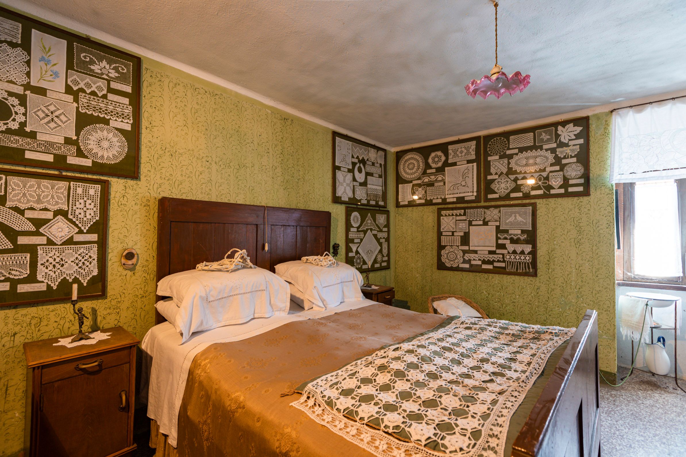
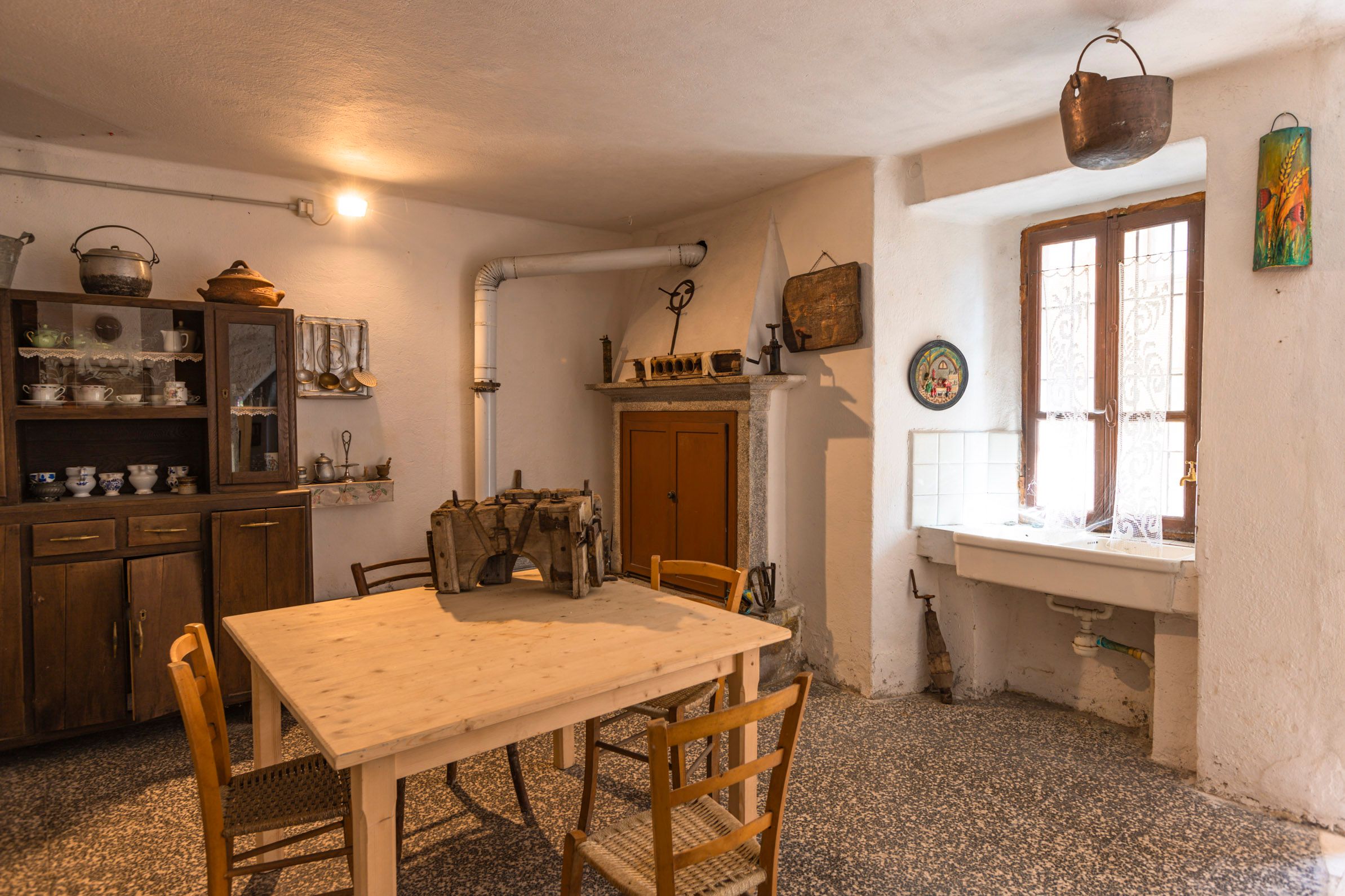
Villa is undoubtedly the most important village, not only for the largest population, but also because there are the only hotels in the area and the main commercial and service activities. Furthermore, there is a medieval castle with a tower. Even though it is now in ruins, it is still a destination for interesting excursions. In Villa you can also visit the Museum of the People of Lozio, inaugurated in 2003, at the Pro Loco.